 MS
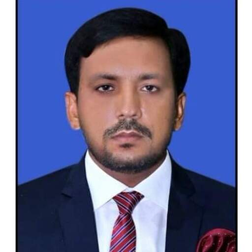
MSMuhammad Safdar
@muhammadsafdar1
Senior GIS and Remote Sensing specialist delivering data-driven geospatial solutions.
What I'm looking for
I am a Senior GIS and Remote Sensing specialist with extensive experience delivering geospatial solutions across agriculture, utilities, urban planning, and disaster management. I focus on spatial analysis, remote sensing, Web GIS, AI integration, and automation to support data-driven decision-making.
I have led UAV mapping, NDVI-based crop monitoring, utility network mapping, cadastral mapping, and flood early warning systems, repeatedly improving processing performance and decision speed through automation and cloud GIS.
Technically, I am proficient in ArcGIS Pro, ArcGIS Online, QGIS, Python/ArcPy, Google Earth Engine, FME, and web mapping stacks; I build dashboards, enterprise geodatabases, and live GIS tools to enable real-time situational awareness.
I am experienced in project leadership using Agile/Scrum and PMP-informed practices, training cross-functional teams, and delivering measurable impacts such as workflow reductions of 40%–50% and efficiency gains in site selection and monitoring.
Experience
Work history, roles, and key accomplishments
GIS Specialist
Zarwa Al Afkar
May 2025 - Aug 2025 (3 months)
Executed advanced spatial analyses that improved site selection efficiency by 30% and contributed to utility network mapping and GIS data integration for wastewater infrastructure projects.
GIS Specialist
National Water Company
Feb 2025 - May 2025 (3 months)
Contributed to utility network mapping and GIS data integration for wastewater infrastructure, converting engineering layouts into GIS-ready formats to ensure spatial accuracy and schema compliance.
GIS Expert
TerraSense Consulting Pvt. Ltd.
Dec 2023 - Jan 2025 (1 year 1 month)
Directed UAV mapping for precision agriculture using NDVI, automated spatial workflows with Python reducing manual processing by 40%, and developed interactive dashboards improving spatial modeling performance by 50%.
GIS Specialist
Federal Government Employees Housing Authority
Mar 2021 - Sep 2023 (2 years 6 months)
Developed cadastral and thematic maps for smart city projects, designed real-time ArcGIS Dashboards for project tracking, and trained 20+ staff in ArcGIS Pro and spatial data management to improve operational efficiency.
GIS Manager
Kernel Seed Corporation
May 2019 - Mar 2021 (1 year 10 months)
Delivered a real-time crop monitoring system using UAVs and Sentinel-2, engineered an enterprise geodatabase improving query speed and reliability by 50%, and automated workflows with Python and GEE reducing manual effort by 40%.
GIS Manager
PIU – Provincial Disaster Management Authority
Nov 2018 - Apr 2019 (5 months)
Deployed an integrated flood early warning system reducing risk assessment time by 30%, executed DEM analysis and 3D terrain modeling, and developed live GIS dashboards for emergency response.
Jr. GIS Professional
The Urban Unit
Apr 2015 - Jul 2018 (3 years 3 months)
Executed GPS-based land surveys and cadastral digitization, and converted AutoCAD layouts to GIS-ready formats for urban development projects.
GIS Associate
Loyal Consultants
Jun 2012 - Mar 2015 (2 years 9 months)
Supported cadastral GIS mapping and documentation, integrating field-collected GPS and CAD data into structured GIS environments to support project delivery.
Education
Degrees, certifications, and relevant coursework
University of the Punjab
Master of Science, Geographic Information Systems
Completed a Master of Science in Geographic Information Systems focusing on advanced GIS and remote sensing applications.
The Islamia University of Bahawalpur
Bachelor of Science, Computer Science
Earned a Bachelor of Science in Computer Science covering programming, databases, and computational fundamentals applicable to GIS development.
Availability
Location
Authorized to work in
Website
smhisresume.comJob categories
Interested in hiring Muhammad?
You can contact Muhammad and 90k+ other talented remote workers on Himalayas.
Message MuhammadFind your dream job
Sign up now and join over 100,000 remote workers who receive personalized job alerts, curated job matches, and more for free!
