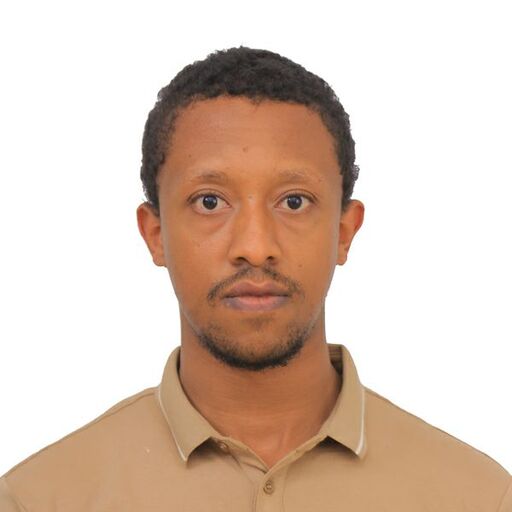
 SY
SYSabir Y
@dagimyimer
Detail-oriented Geography and Environmental Science student with GIS expertise.
What I'm looking for
I am a BA graduate in geography and environmental science with a strong focus on geospatial data collection, management, and analysis. My hands-on experience includes working as a GIS Data Technician on significant urban development projects, where I executed field data collection and ensured data integrity for the Dessie and Kombolcha City Street Addressing Project. My academic background, combined with practical experience, has equipped me with a solid foundation in GIS tools such as ArcGIS and QGIS.
Throughout my studies at Injibara University, I have maintained a cumulative GPA of 3.70 and have completed relevant coursework in Geospatial Analysis, Urban Planning, and Remote Sensing. I am eager to leverage my technical skills and collaborative abilities in an entry-level role in GIS, urban planning, or environmental consulting upon graduation. I am committed to supporting project goals and contributing to sustainable urban development.
Experience
Work history, roles, and key accomplishments
Data Collector
Addis Ababa Megenagna Traffic Count
Gathered critical on-site traffic data essential for the planning and development phases of a major urban corridor initiative. Ensured the timely and precise submission of all collected information according to strict project protocols.
GIS Data Technician
Compass AEPED PLC
Executed field data collection and verification for the government-mandated Dessie and Kombolcha City Street Addressing Project. Ensured high levels of data integrity by accurately managing the entry of spatial and attribute data into the project's GIS database.
Education
Degrees, certifications, and relevant coursework
Injibara University
Bachelor of Arts, Geography and Environmental Science
2021 -
Grade: 3.70 / 4.00
Final-year student in Geography and Environmental Science with hands-on experience in geospatial data collection, management, and analysis. Proficient in GIS tools including ArcGIS and QGIS, with a proven ability to ensure data integrity and support project goals. Relevant coursework included Geospatial Analysis, Urban Planning, Remote Sensing, Environmental Science, and Cartography.
Availability
Location
Authorized to work in
Social media
Job categories
Interested in hiring Sabir?
You can contact Sabir and 90k+ other talented remote workers on Himalayas.
Message SabirFind your dream job
Sign up now and join over 100,000 remote workers who receive personalized job alerts, curated job matches, and more for free!
